

Greater Yavapai: Regional Trails Planning
CONNECT
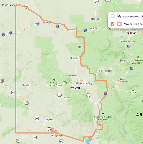
This survey will be open until July 31, 2026. Click the yellow button or the map to access it!
Please share your thoughts! This survey is an opportunity for you to provide feedback and comments about trails, and future planning for trails, in the Quad Cities and Greater Yavapai area.
This is a two-part survey. The first section consists of a mapping exercise that invites you to place pins on a map (watch this video for instructions), and the second part includes a series of questions to better understand trail use and the community’s thoughts about trails in the region.
The survey should take about 15-20 minutes to complete. Your answers will be saved as you go, so take as much time as you need before clicking "submit."
Guiding Values for this Effort
What is Regional Trails Planning
A Regional Trails Plan is a long-range planning document that guides the development, management, and conservation of a connected network of trails across multiple communities or jurisdictions. Its purpose is to strengthen connections between natural areas, neighborhoods, transportation systems, and destinations, while protecting environmental resources and supporting recreation, mobility, and regional identity. Regional trails plans are most effective, implementable, and community-supported when developed collaboratively and tailored to the landscape’s unique needs.

Regional Trails Vision
These are the components that will be integrated into the regional trails plan.
.jpeg)
CONNECTIVITY
_edited.jpg)
Communities are connected by a regionwide network that links neighborhoods, schools, commercial areas, trailheads, and open spaces together while reducing reliance on cars.

RECREATION

Trail design prioritizes safety, inclusivity, and memorable user experiences. Multi-use paths separated from traffic, clear signage, consistent design standards, and context-appropriate amenities make the system safer, more accessible, and engaging.

CONSERVATION

Trails support conservation, rather than compete with it. Integrating trail planning with open space and wildlife habitat data, especially for pronghorn corridors and riparian areas, makes the system environmentally responsible while expanding the locations and quality of educational opportunities.

QUALITY OF LIFE

Access to trails is an important component to improving quality of life and health. Every community has access to recreation and safe travel routes.
Resilience

RESILIENCE

Risk reduction is a critical part of the regional trails strategy. Trails play an important role in fire management, emergency access, and wildfire hazard mitigation, and these considerations create a more resilient landscape.
Photo credits: Joanne Oellers - Silverback Trail (banner slide 1), Katie Corley - Granite Dells (banner slide 2), Amanda Hardt - Granite Mountain Trail (banner slide 3), Betsy Hilgendorf - US Forest Service (Recreation box), Patrick Kell - near Prescott Circle Trail (Connectivity box), Lisa Lafoon - Goldwater Lake (Conservation box), Katie Corley - downtown Prescott (Quality fo Life box), Amanda Hardt - downtown Prescott (Resilience box)